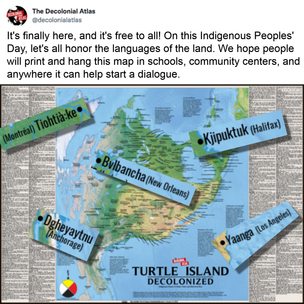
300 names. 150 languages. 9 years of research involving the consultation of 100s of elders and language-keepers across the continent. We're thrilled to finally share this with the world on this Indigenous Peoples Day!
Documenting these names is vital work as many of the elders who worked on this project have since joined the ancestors. This map serves to support ongoing language revitalization efforts, acknowledge unextinguished Indigenous land tenure, and help us all better understand Indigenous history, the legacy of colonization, and our relationship with the land.
Just as this knowledge was gifted to us, the map is a gift we hope people will print and hang in schools, community centers, and anywhere it can help start a dialogue.
On our website, you can also find a list of all these names and resources to help learn the accurate pronunciations.
Check it out for yourself at decolonialatlas.com
Djoerd Hiemstra 🍉udostępnił to.


GenOlivier 𓍊𓋼
•Celeste Ryder 🐾 🐀🏳️🌈
•#FirstNations #Indigenous #IndigenousPeoplesDay #Languages #Language #Decolonization #Colonization
Orion (he/him)
•Shantell Powell
•Cristina Del Biaggio
•culpaplex
•https://decolonialatlas.com/turtle-island-decolonized/
Links for printing on that page.
Turtle Island Decolonized
The Decolonial AtlasGeorge
•Hopefully people will revisit how to make a good pdf file.
jon ⚝
•I see many people not wanting to copy and paste the address to this vital resourse. Luckily Mastodon allows edits.
th4
•Sue Strong
•