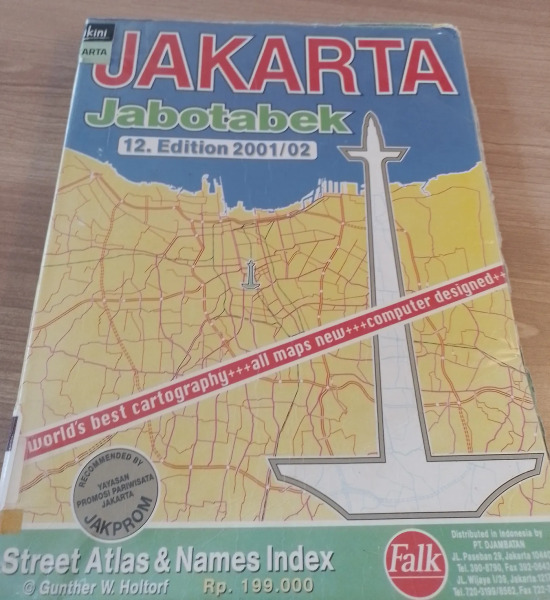
In 1973, Gunther W. Holtorf was assigned as the manager of Lufthansa in Indonesia.
Hello, my name is Gray Forsyth and I am currently a geography student with a strong focus in GIS at the University of Colorado Denver. I was recently introduced to Open Street Map by my remote sensing professor and OSM board member, Diane Fritz. I am excited to begin contributing high quality work to OSM. I am beginning my OSM journey with a passion project to overhaul OSM’s data in my hometown, Wilson Wyoming. I decided to start this project because when looking at Wilson on OSM it was immediately clear that there was a significant amount of missing data, many inaccuracies, and lots of low resolution/quality vector work. I am excited to work on this project because I am not only passionate about making detailed, visually appealing and accurate maps, I also think Wilson is the most beautiful place on Earth (may be biased) and I want to do its landscape justice in the best way I can. As I have already started the project, let me summarize the work I have done so far: I began familiarizing myself with the editor by going around Wilson and beginning to address glaring errors. This first sweep began by focusing on Owen Bircher Park, where the boundaries, structures, pathways, and misc features were either inaccurate or missing. I then moved south to the downtown area of Wilson where many of the businesses and surrounding features were missing, inaccurate, unidentified, etc… There is also some work I have done to improve the roads in central Wilson. Once familiar with the editor, I decided that the next order of business was addressing the two most obvious shortcomings (to me) of the data in Wilson; missing and low quality water features, and an abundance of missing structures in downtown Wilson. Water is a very prominent feature throughout Wilson and is something that could use proportional attention. The riparian environment, as well as a significant amount of irrigation ponds and ditches, is not only a defining feature of the natural landscape, but a strong influence on Wilson’s residential topology. Water work began by changing Fish Creek’s classification from stream to river, mostly because the symbology for rivers on OSM better suited the true size of the creek. I then began improving the accuracy and quality of Fish Creek’s vector line from around 2 miles north of and then around a mile south of central Wilson. This was mostly an aesthetic choice to make the line smoother and better representative of this defining water Feature. Ongoing water work consists of filling in the significant amount of missing ponds, ditches, and streams in central Wilson. The amount of missing structures, specifically houses in central Wilson is fairly large, and existing structure data is mostly all inaccurate in position and shape. (also unclassified) So far I have made considerable progress in the east side of downtown Wilson. I have been striving to most accurately represent structure footprints, and cross referencing other imagery and street view when needed. I have also been adding driveways. I will give another update once I feel the water and missing structure problems have been thoroughly addressed. Thanks for reading and feel free to reach out to me at grayforsyth21@gmail.com for any reason :)


